
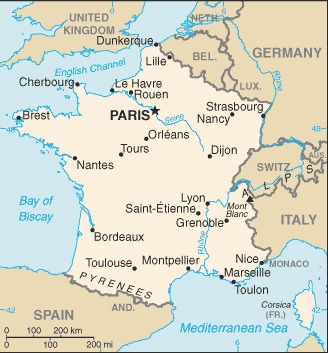
metropolitan France: Western Europe, bordering the Bay of Biscay and English Channel, between Belgium and Spain, southeast of the UK; bordering the Mediterranean Sea, between Italy and Spain;
French Guiana: Northern South America, bordering the North Atlantic Ocean, between Brazil and Suriname;
Guadeloupe: Caribbean, islands between the Caribbean Sea and the North Atlantic Ocean, southeast of Puerto Rico;
Martinique: Caribbean, island between the Caribbean Sea and North Atlantic Ocean, north of Trinidad and Tobago;
Mayotte: Southern Indian Ocean, island in the Mozambique Channel, about halfway between northern Madagascar and northern Mozambique;
Reunion: Southern Africa, island in the Indian Ocean, east of Madagascar
Definition: This entry identifies the country's regional location, neighboring countries, and adjacent bodies of water.
Source: CIA World Factbook - This page was last updated on Saturday, September 18, 2021