
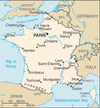
border countries (8): Andorra 55 km, Belgium 556 km, Germany 418 km, Italy 476 km, Luxembourg 69 km, Monaco 6 km, Spain 646 km, Switzerland 525 km
metropolitan France - total: 2751
French Guiana - total: 1205
Definition: This entry contains the total length of all land boundaries and the individual lengths for each of the contiguous border countries. When available, official lengths published by national statistical agencies are used. Because surveying methods may differ, country border lengths reported by contiguous countries may differ.
Source: CIA World Factbook - This page was last updated on Saturday, September 18, 2021