
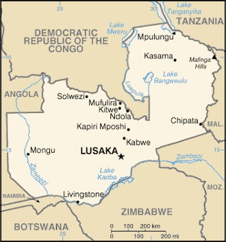
border countries (8): Angola 1065 km, Botswana 0.15 km, Democratic Republic of the Congo 2332 km, Malawi 847 km, Mozambique 439 km, Namibia 244 km, Tanzania 353 km, Zimbabwe 763 km
Definition: This entry contains the total length of all land boundaries and the individual lengths for each of the contiguous border countries. When available, official lengths published by national statistical agencies are used. Because surveying methods may differ, country border lengths reported by contiguous countries may differ.
Source: CIA World Factbook - This page was last updated on Saturday, September 18, 2021