
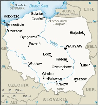
border countries (7): Belarus 375 km, Czechia 699 km, Germany 467 km, Lithuania 100 km, Russia (Kaliningrad Oblast) 209 km, Slovakia 517 km, Ukraine 498 km
Definition: This entry contains the total length of all land boundaries and the individual lengths for each of the contiguous border countries. When available, official lengths published by national statistical agencies are used. Because surveying methods may differ, country border lengths reported by contiguous countries may differ.
Source: CIA World Factbook - This page was last updated on Saturday, September 18, 2021