
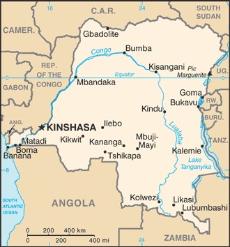
border countries (9): Angola 2646 km (of which 225 km is the boundary of Angola's discontiguous Cabinda Province), Burundi 236 km, Central African Republic 1747 km, Republic of the Congo 1775 km, Rwanda 221 km, South Sudan 714 km, Tanzania 479 km, Uganda 877 km, Zambia 2332 km
Definition: This entry contains the total length of all land boundaries and the individual lengths for each of the contiguous border countries. When available, official lengths published by national statistical agencies are used. Because surveying methods may differ, country border lengths reported by contiguous countries may differ.
Source: CIA World Factbook - This page was last updated on Saturday, September 18, 2021